
Hiking matters #412: Mount Victoria in Narra, Palawan Part 1 – To the high camp

 |
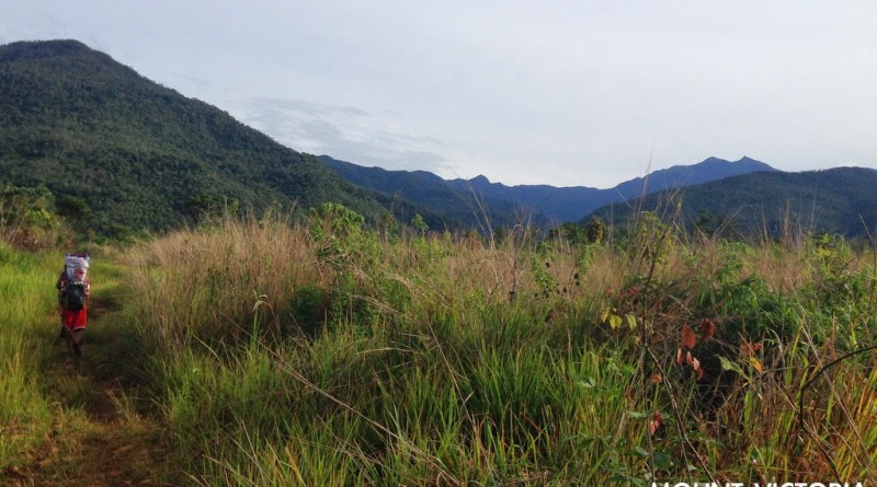
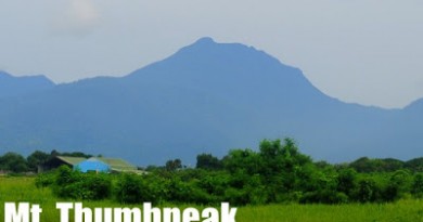
| At the beginning of the trail with the twin summits at the far right |
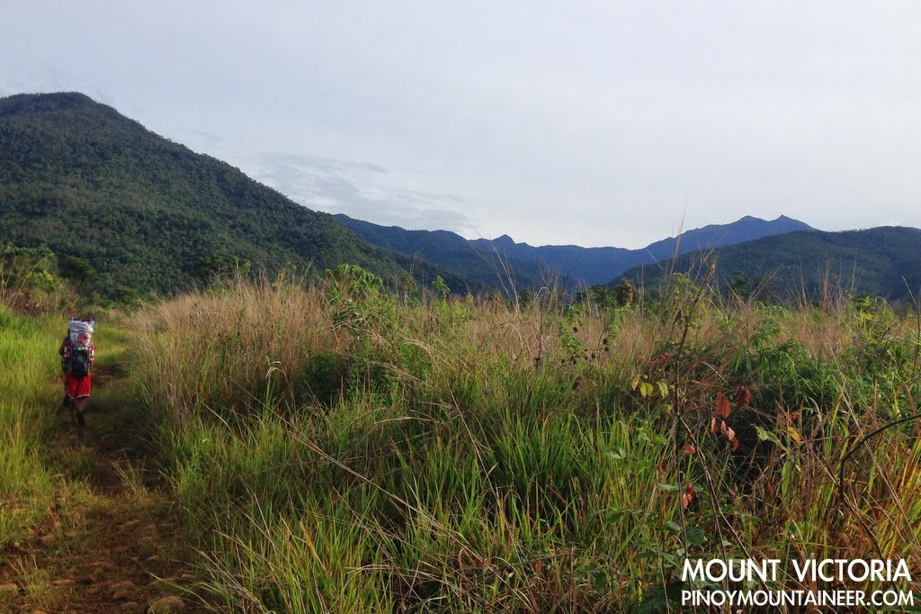
PUERTO PRINCESA – After traversing Mt. Mantalingajan, the highest mountain in Palawan (see Hiking matters #408-411), and going on a pitstop at Puerto Princesa, my hiking buddy Coby Sarreal and I proceeded to the municipality of Narra to climb Mt. Victoria – also known as the Victoria Peaks – the second highest mountain in the island. Joining us was young Palaweño hiker Brenton Tan. Arriving mid-afternoon, we didn’t miss the opportunity to visit the Estrella Falls, whose clear and cold waters turned out to be a great refreshment.
The next day we were welcomed by Jehson Cervancia, longtime Mt. Victoria advocate with whom I have corresponded in the past. He endorsed us to Kuya Julius who would be our guide for what is usually a three-day hike that would take us to the summit of Mt. Victoria and back.
 |
| Estrella Falls, an excellent sidetrip before the Mt. Victoria hike! |
We rented a tricycle to Brgy. Princess Urduja – a thirty-minute ride away from the town proper – and started the hike at around 0700H. The weather was not promising to begin with: forecasts were dire and it had rained heavily the previous night, so we expected to get wet as soon as start. We were pleasantly surprised, thus, to see the two-pronged summit of Mt. Victoria ahead of us – among the many peaks in the Mount Victoria Range.
From the onset, the trail environs were impressive. A prairie-like grassland comes first – reminiscent of the trails of Mt. Kilimanjaro – with unique plants and shrubs, including pitcher plants – and butterflies and stick insects hovering. Every forest has its music – of birds, rivers, insects, winds – and that of Victoria is animated, suggesting that it is full of life. Indeed Mt. Victoria’s biodiversity attracts scientists from all over the world.
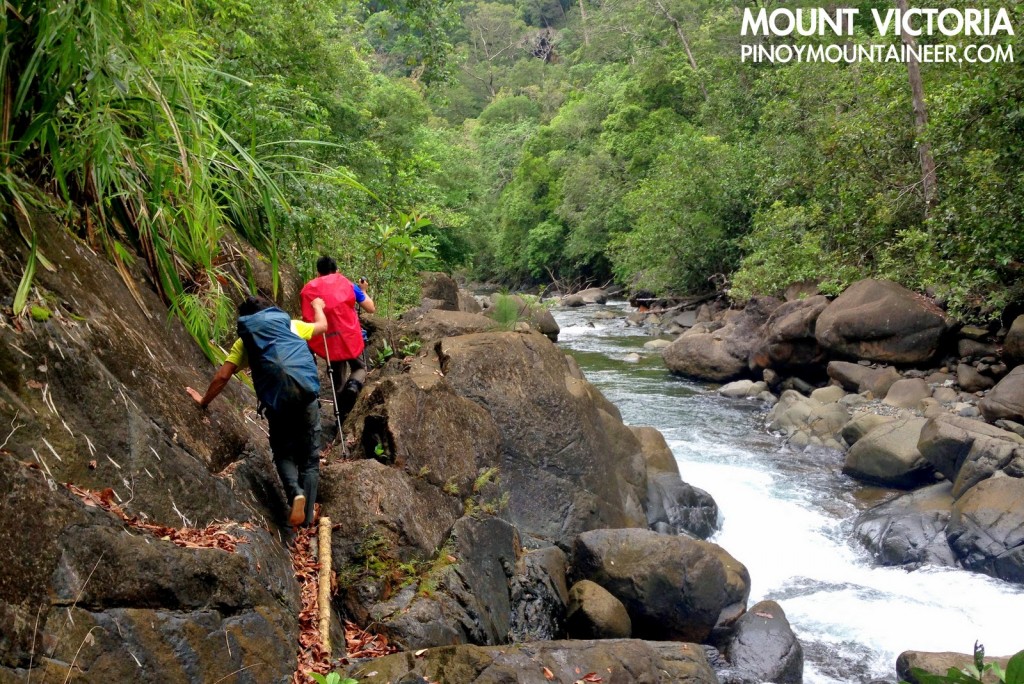
 |
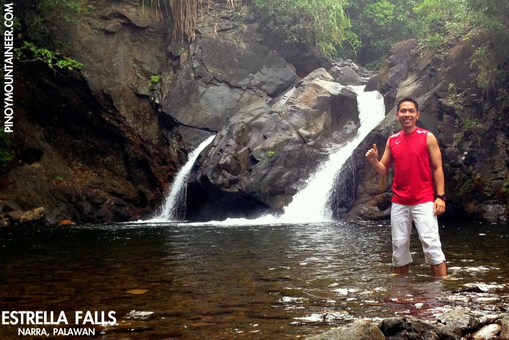
| Crossing the Buhawi River |
Then, the thirteen crossings of Buhawi River – that limpid stream where we did some unplanned swimming, enthralled by the waters. The traditional way to do the trek is to begin with flip-flops or sandals, then don the hiking shoes after the half-day crossing is done. We did just that, but while that approach was rewarding while crossing the rivers, I found it challenging to trek the slippery, oftentimes overgrown trails along the river with slippers.
We finished the crossing by 1100H, and had early lunch by the ‘Huling Sapa’ – the last stream. From that point, it was a forested ascent, a bit steep but happily straightforward – a welcome break from the ups and downs of Mt. Mantalingajan. The trails, too, were surprisingly well established. While we were hiking, we spotted a Palawan blue flycatcher – with its pretty orange neck – perched in one of the trees.
 |
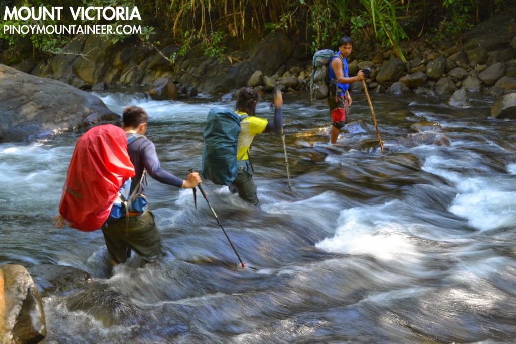
| More river trails with the lush jungle up ahead |
We arrived at the High Camp – which is around 1400 MASL – at 1500H. The Palawan style of camping is just using a mix of tarpaulins and hammocks – and at the High Camp this approach is understandable, considering that there are no really flat areas, and we had to pitch our tent on a sloped surface.
We still couldn’t believe our good fortune – it didn’t rain the whole day, even as Narra and Puerto Princesa both experienced heavy rains. That night, we prayed that the next day would be as fortuitous. Continued in Hiking matters #413.
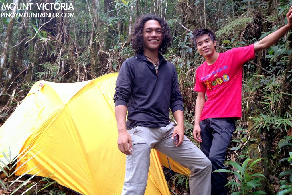 |
| At the High Camp, around 1400 MASL |
MOUNT VICTORIA, NARRA, PALAWAN (JUNE 2014)
Hiking matters #412: To the high camp
Hiking matters #413:To the summit and back
Leave a Reply
2 Comments on "Hiking matters #412: Mount Victoria in Narra, Palawan Part 1 – To the high camp"
Sir may next climb ka pa dito sa palawan? Kelan po?
Great site you got here. will keep on visiting for more of your fun adventures 😉