

Hiking matters #864: Mt. Dos Cuernos in Isabela, Days 3-4: The ascent to the North Summit (Roy’s Peak)

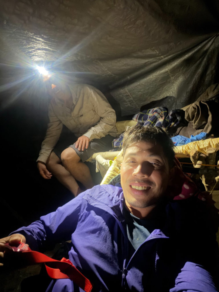
Continued from Hiking matters #863: From Leslie’s campsite – which was surrounded by fireflies and animated by the cooing of owls at night – we woke up early and after a quick shot of coffee, we excitedly started the attempt to reach the summit of Mt. Dos Cuernos at 0430H.
In less than an hour, we were back in Mt. Gida where we paused to contemplate the rest of the trip as we beheld the stil-distant majesty of Dos Cuernos.
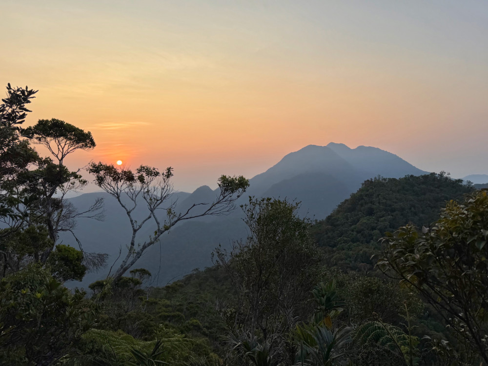
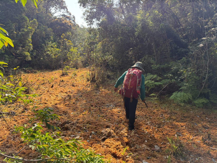
Fortunately, the trail was mostly intact throughout the ridgeline that led to what we might call the ‘Junction’ – the spot where one has to make a turn for another ridgeline that connected to Mt. Dos Cuernos (Is this the “Mt. Hamut” that old hikers spoke of? Not even our guides were sure but it could be) There were signs of recent human activity – from Skyflakes wrappers to more silô. Slowly but surely we negotiated each of the ‘bumps’ – little peaks that had 50-150m of prominence but were cumulatively still very challenging; our altitude ranged from 1350-over 1500 MASL. Meanwhile the sun rose, casting a glorious glow in Dos Cuernos, the mountain that was now fully visible.
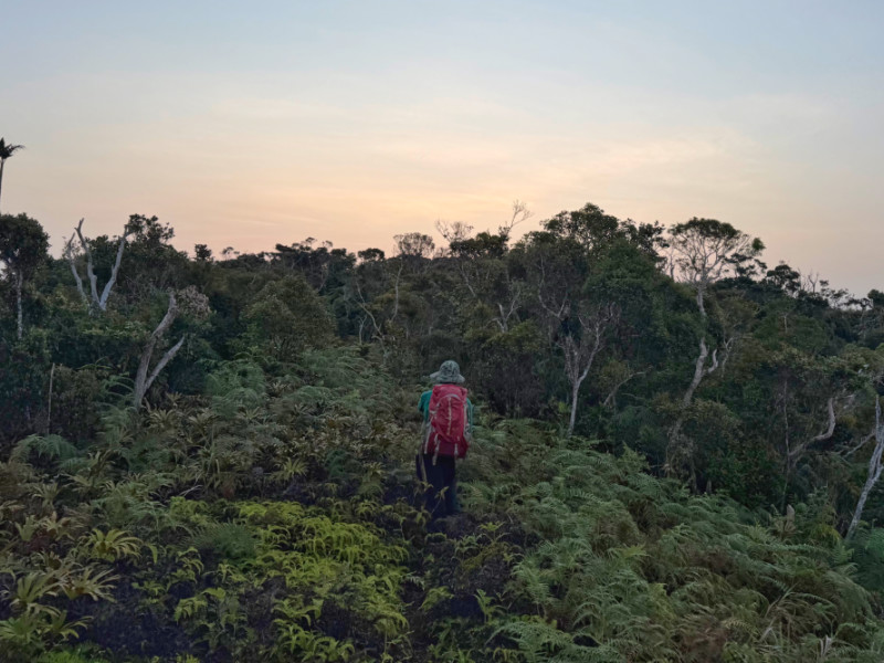
Just before the final peak of Gida ridge, we saw another hunters’ tent similar to Leslie’s campsite. From the Junction, the trail gets a bit more confusing; we tried to stay as close to the ridgeline as possible but even the old trails had vanished: an unsurprising fact given that the last known ascent – with SMOC and Archbishop Sergio Utleg -was back in 2012. Fortunately by 0800H we still ended up in the mossy quicksand that the old guide, Randy, mentioned as one of the hallmarks of the trail. From this point, it took us another two hours – through a couple more mini-peaks – to reach the base of Dos Cuernos, around 1350 MASL.
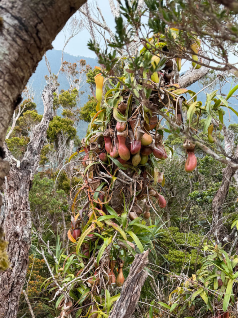
There was no sign of the trail whatsoever and we had to hack and scramble our way to the top. This arduous and thorny process took hours, and it was already 1345 when we reached Cuerno Norte or Roy’s Peak. Minutes later, we were perched at the fragile tower of trees, moss, and pitcher plants that marked the very summit! There were no traces of human presence but it was clearly the highest point.
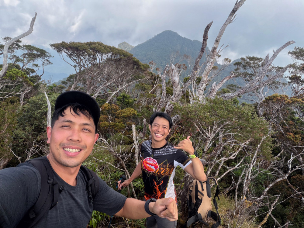
From Cuerno Norte, there was an option to reach for Cuerno Sur or Chang’s Peak – the higher of the two horns – which loomed large in front of us. In the past, the connection between the two peaks would have taken just a few hours, as per Randy. However, this would have meant more hours of trail finding and blazing across even denser foliage. With time running out – and no assurance of a water source – we decided to commence the long descent at 1500H.
It took several hours of trekking to return to high camp, and several times, we struggled to retrace our steps. But our mistakes on the way up allowed us to take the old but overgrown trails that we missed, and we managed to avoid passing through the quicksand. Still, it was past 2200H by the time we reached Leslie’s campsite; altogether we trekked for over 18 hours on our third day!
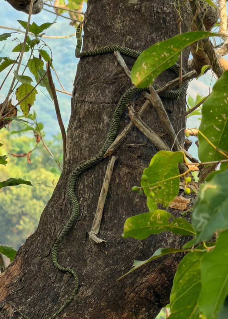
The fourth day was more relaxing; relieved of the pressure of climbing Dos Cuernos, we were more attentive to the wildlife; I saw a Philippine hawk-eagle while Daryl spotted a gorgeous green snake. The lunch of river snails was a welcome treat at Shamag – plus a final dip in the river- and so was the dinner of pansit when we were back at municipal hall.
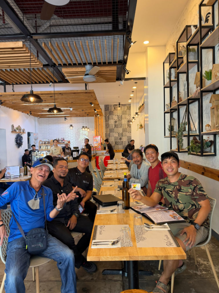
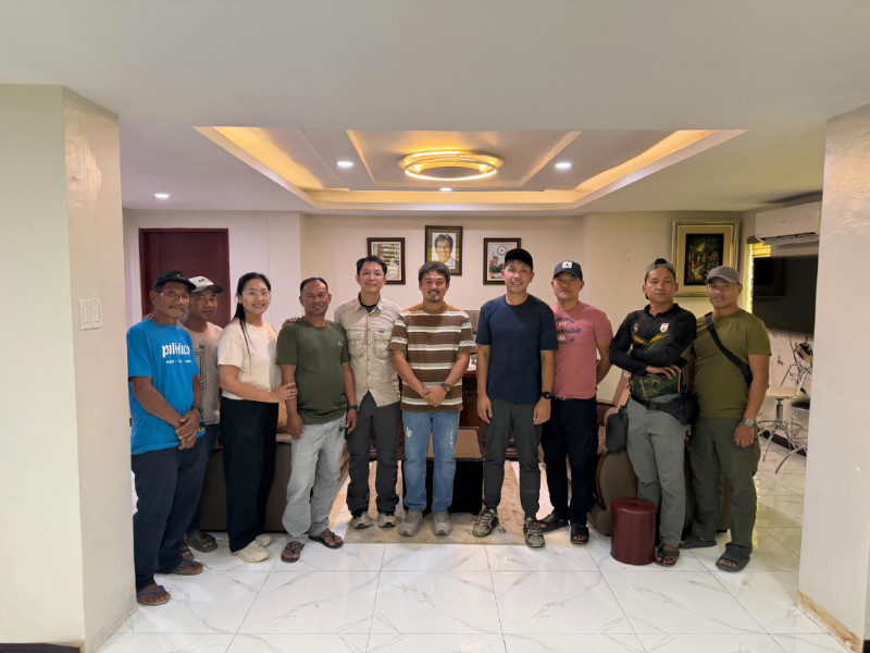
Overall, what a great experience! Again, we are most grateful to the LGU especially Ms. Maria Ellena Baui, DOT, and Sir Guy Tiongson. Kudos also to our guides, especially Leslie who joined us all the way to the peak and back! Hopefully our hike can pave the way to sustainable and responsible ecotourism in San Pablo and the rest of Isabela.


Leave a Reply
Be the First to Comment!