
Hiking matters #868: An extended, exhilarating ‘dayhike’ up Mt. Negron (1595m) in Pampanga and Zambales

Once considered part of the “series of lofty elevations” that comprise Mt. Pinatubo, Mt. Negron at 1595 MASL became the paramount peak after the 1991 eruption, which destroyed the upper reaches of the former Pinatubo mountain that formerly reached upwards of 1700 MASL. On May 11, 2026, I had the opportunity to climb this mountain, and after 36 kilometers of hiking, joined by my good friend Kevin Habig, I was left amazed by the sheer length, diversity, and majesty that this destination holds. Indeed, the mountain is a hiking tour de force and I loved each of 60,000 steps of the way.
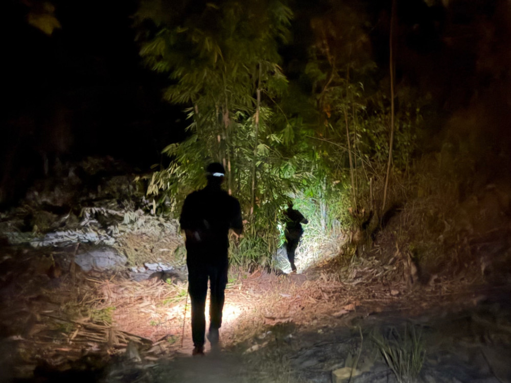
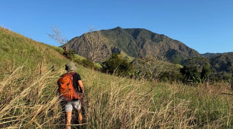
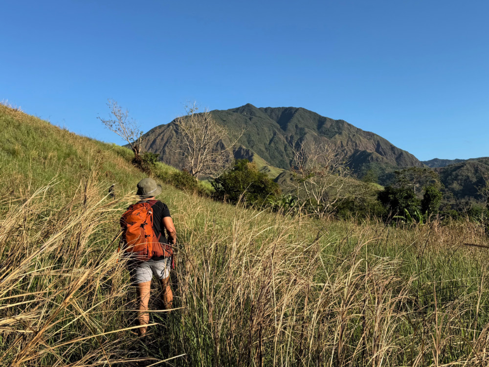
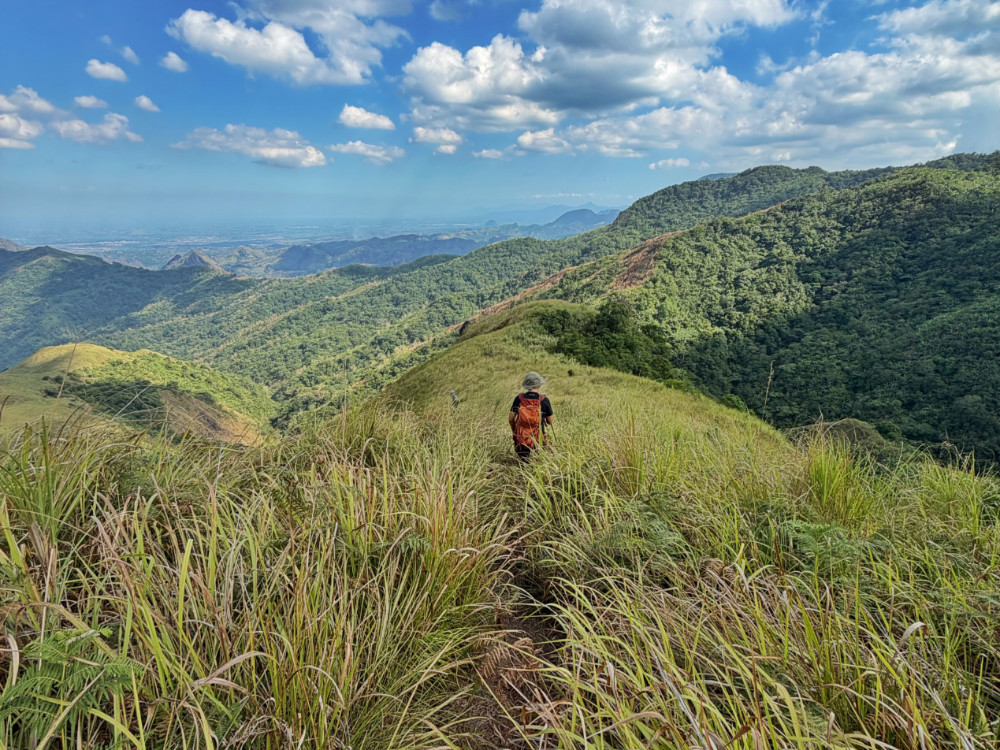
We started the hike at 0240H from the Pasbul Aeta community in Porac, Pampanga, accompanied by our Aeta guide Jepoy. Soon we reached the river, which we had to cross several times. After 7.5 kms, we reached the first village, Patat Apalit, at 0520H. We then marched onwards to the Camp 1, another small village, after another 3 kms, reaching it at 0630H. From this point on, the hike steadily gains elevation through banana and talahaib slopes before reaching the scenic Camp 2, around 900 MASL, perched in the talahib slopes. From this point, the talahib continues until one reaches the forest line, around 1100H. Shaded, and located at higher ground, the air here is palpably cooler and it would have looked like a typical montane forest, such as that of Makiling or Cristobal, except that here, one walks on lahar: the same volcanic sand that altered the landscape forever.
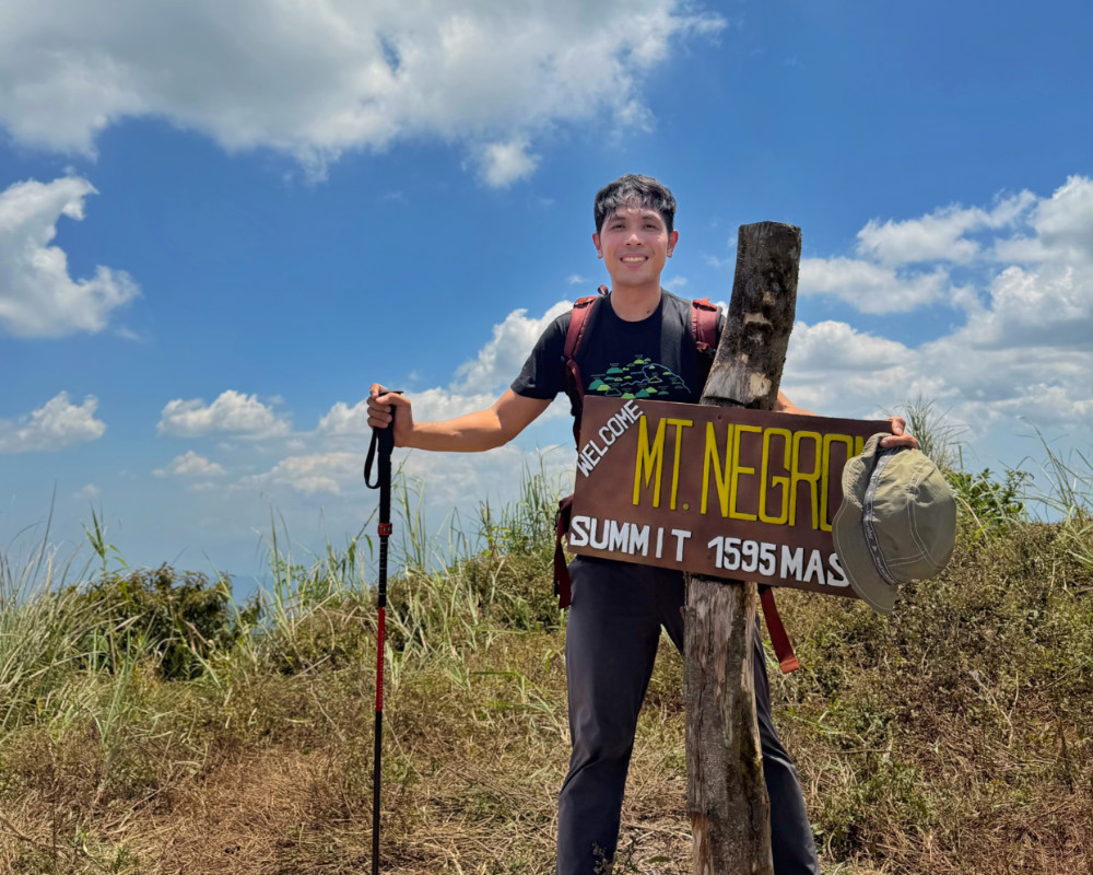
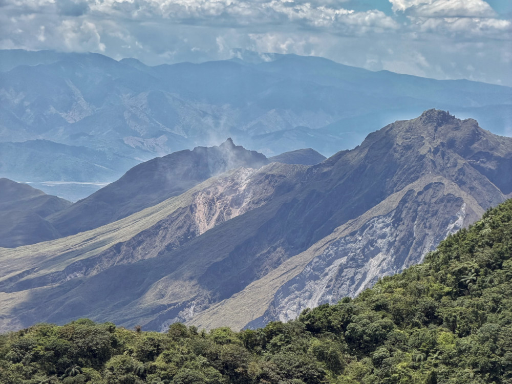
Finally by 1240H we reached the summit – after 10 hours of trekking! Atop, we were rewarded with views of Mt. Pinatubo (unfortunately its peak obscures the crater lake but we could seek smoke billowing out of its western flank), the mountains of Zambales, and Mt. Arayat, rising prominently in the northeast.
Without precarious slopes, rattan, limatik, or very overgrown trails (except the talahib), I can characterize the trail as moderate in terms of difficulty , but its sheer length makes it a formidable test of endurance. So I would still categorize it, based on the difficulty scale that I developed long ago, as Difficulty 7/9. The pictures don’t convey the full challenge and adventure of the hike – from afar it looks just like Mt. Talamitam or one of the Cawag mountains – but it fully deserves its reputation!
Because of the lahar, and my cumulative fatigue over the past days (I didn’t sleep not just on the eve of the hike, but the night prior), the descent felt – and took – much longer, and we just had to take power naps and frequent rest stops along the way to power us through the 18-km descent. Thankfully, we managed to return to the trailhead by 2330H.


Leave a Reply
Be the First to Comment!