
Hiking matters #493: The return to Mt. Tabayoc

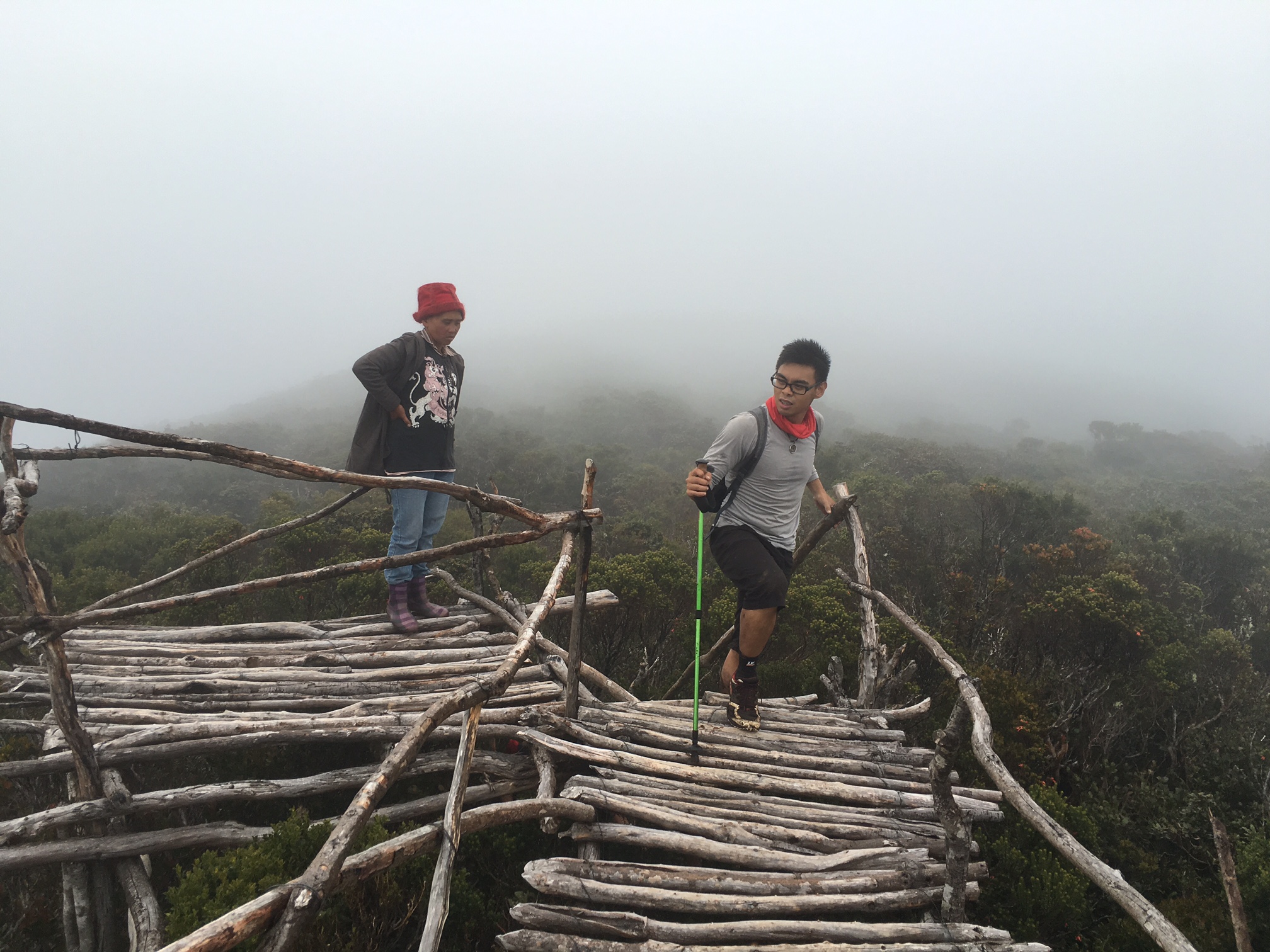
In May 2008 I went to the then-little known 2842-meter Mt. Tabayoc, at the “far side” of Mt. Pulag National Park, hoping to climb the second highest mountain in Luzon (see Hiking matters #10). According to our guide Santiago at the time, we were the first to reach the actual summit, which was then just an area with moss-covered (the wooden viewdeck didn’t exist until a few years ago).
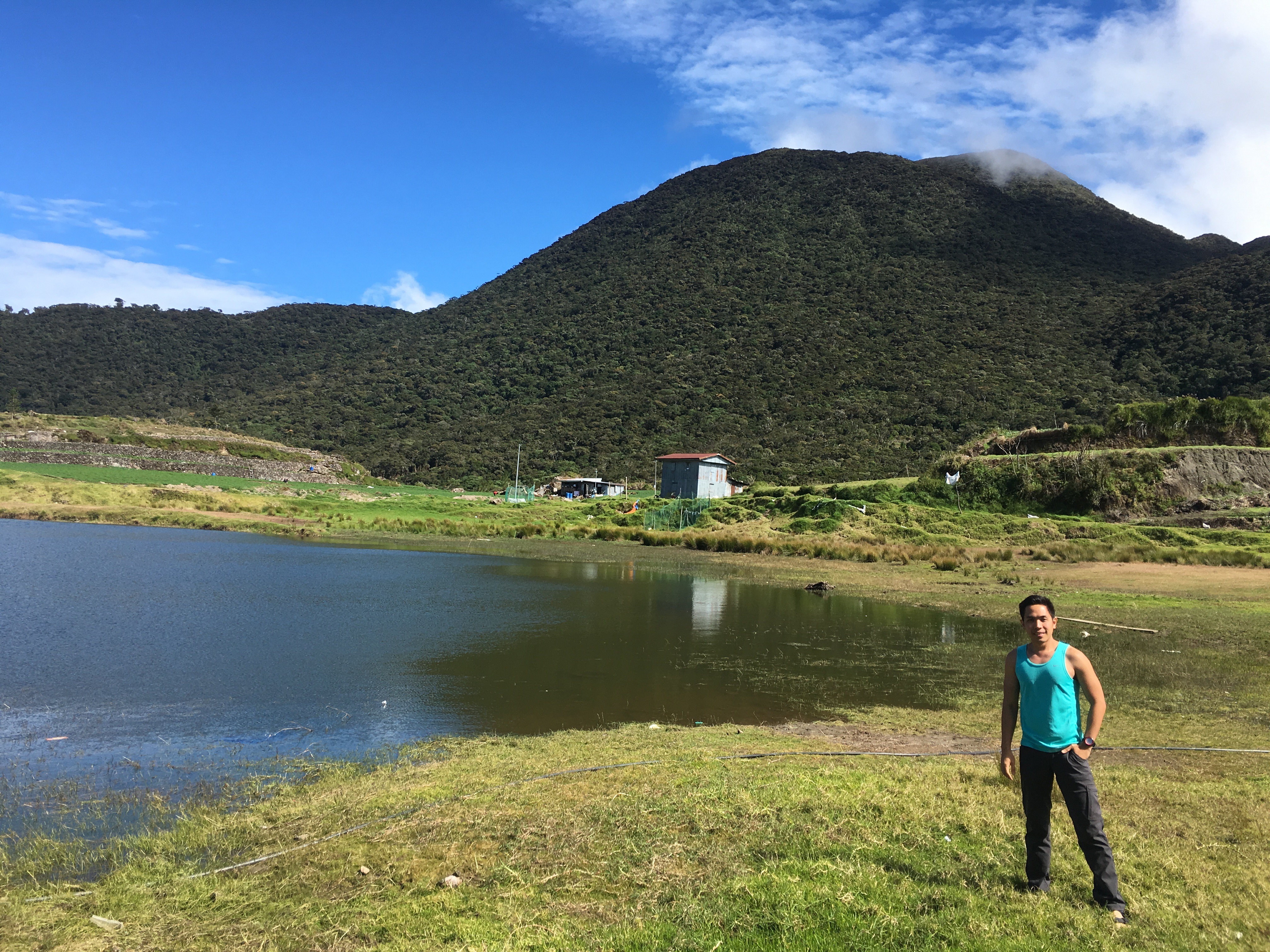
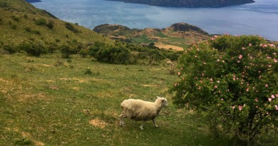
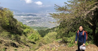
I have gone back the area a couple of times – en route to Brgy. Tawangan, trailhead to Tawangan trail, but it was only last week that I finally got the opportunity to climb Mt. Tabayoc itself again. We arrived on an auspiciously sunny day and it was great to be reminded how beautiful the area is, vaguely reminding me of Hokkaido.
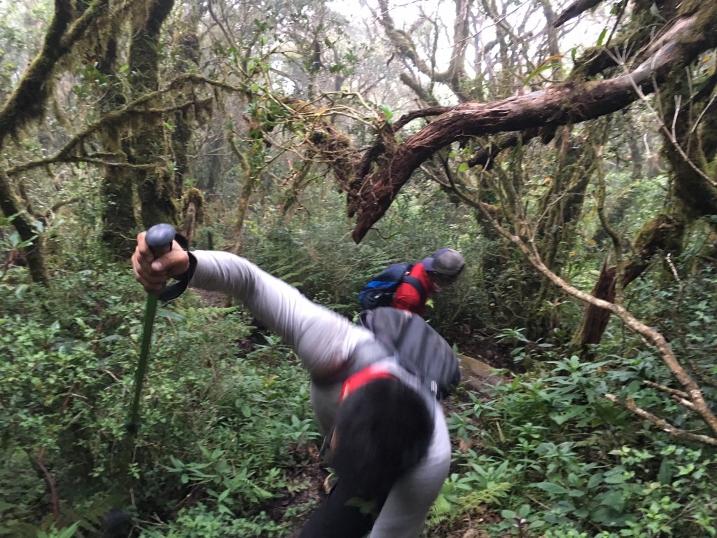
It was already afternoon when we arrived, having spent the first part of the day exploring another nearby trail. From the Lake, Mt. Tabayoc is almost immediately forested: relatively straightforward at first, but somewhat becoming “monkey trail-like” as one gets higher – reminiscent of the trails of Talomo and Napulauan. However, since we were already starting at a relatively high altitude (Lake Tabeyo is at 2301 MASL), it did not take long and after less than two hours we were at the summit, where the wooden viewdeck offers a view without destroying the trees.
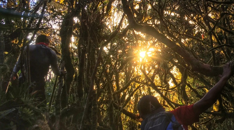
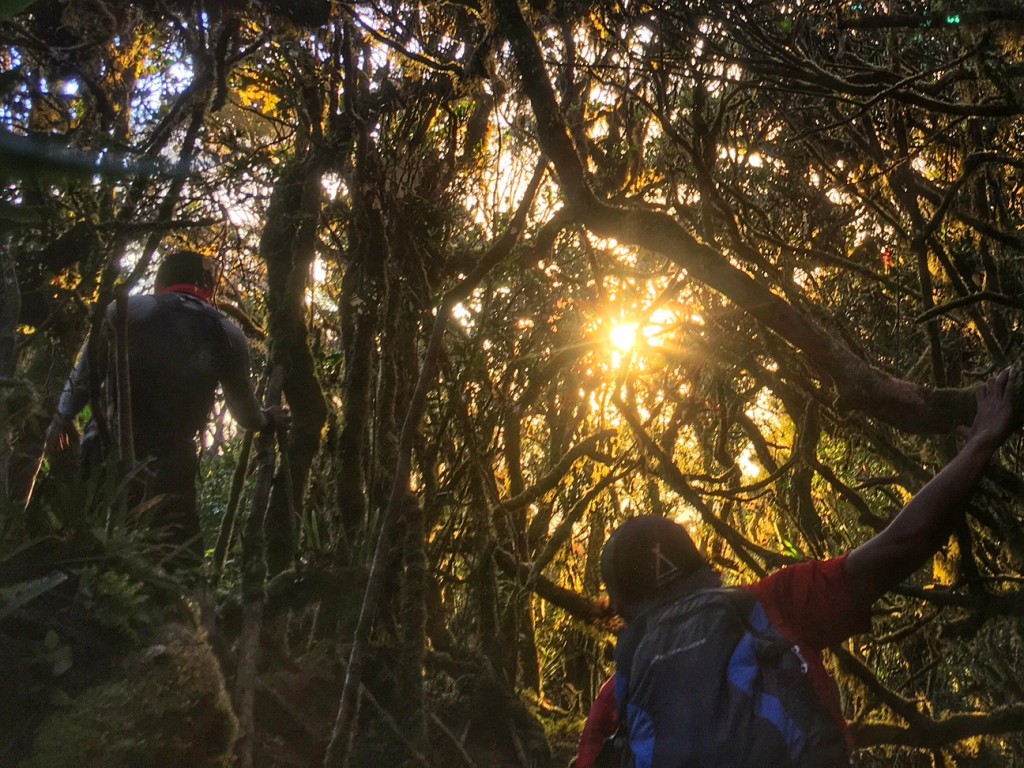
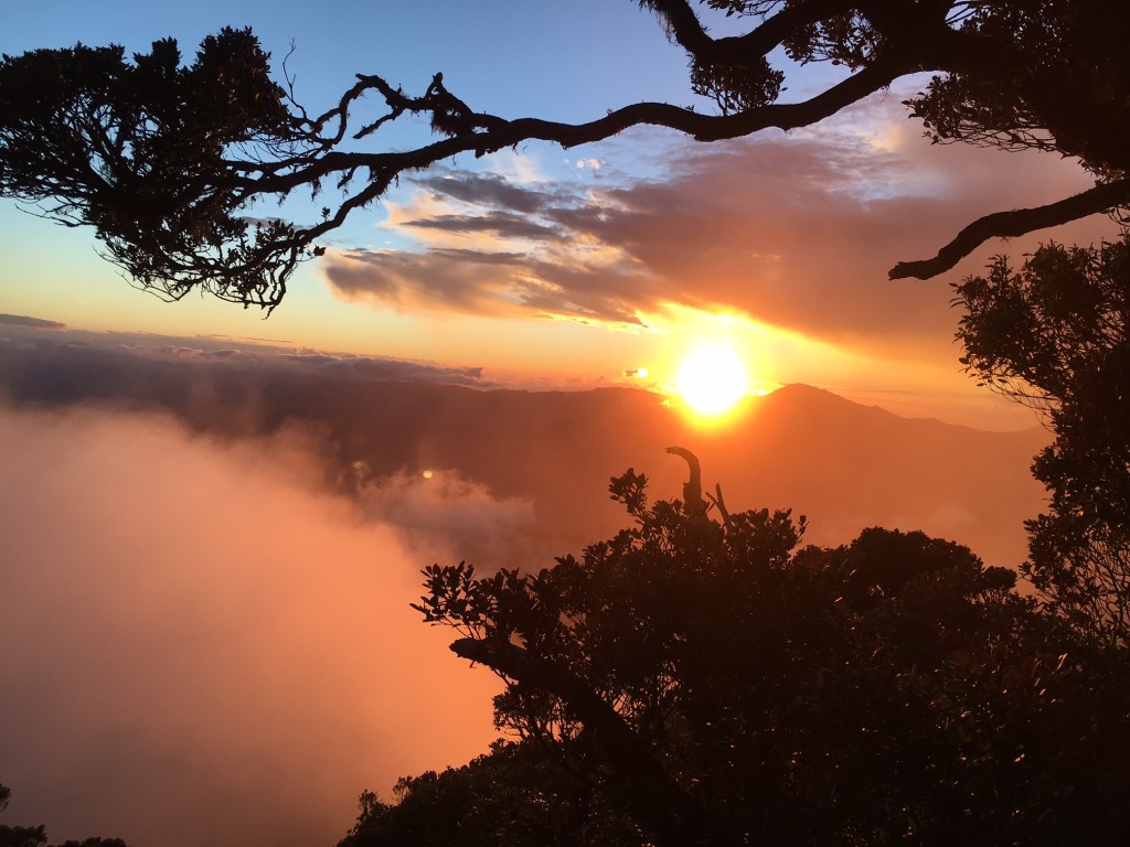
Although we did not have views at the top, on the way back we were very fortunate to experience some glorious moments with the setting sun, which cast a majestic glow while we were inside the mossy forest.
And we did manage to catch a glimpse of Lake Tabeyo, even just for a few seconds. The sun descending behind Halsema Highway – what the guide referred to as “Mountain Trail” – was the perfect reward for the day in the highlands. Thankful for the opportunity to go back to this beautiful mountain!
Leave a Reply
Be the First to Comment!