
Hiking matters #592: Mt. Banahaw de Tayabas, the “other side” of Southern Tagalog’s highest peak

Mt. Banahaw is a complex volcano with a U-shaped crater that faces south; on the West lies Unang Dungaw which is the terminal point of the Dolores Trail , on the North lies Ikatlong Dungaw of the Nagcarlan Trail, while on the East lies the summit of Mt. Banahaw de Tayabas – which is not currently connected to the rest of the crater rim, being separated by a 150-meter ravine from Ikatlong Dungaw. I first hiked Unang Dungaw in 2003 (see Hiking matters #59) and have come back in 2011 (see Hiking matters #168); I did Mt. Banahaw via the Nagcarlan side with Sky Biscocho in 2013 (see Hiking matters #364 ). Last weekend I was very happy that I had the opportunity to finally complete the rim by going on a two-day hike up Mt. Banahaw de Tayabas.
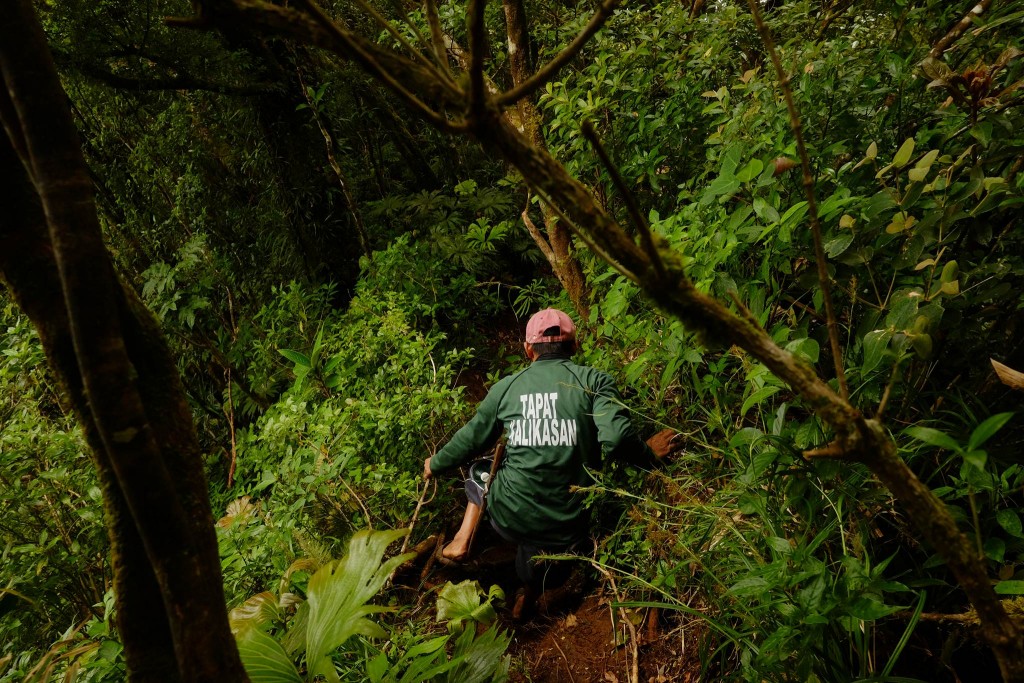
Mt. Banahaw remains technically closed but the more accurate term is “restricted”; permits can actually availed of from the Protected Area Office of the Mts. Banahaw-San Cristobal Protected Landscape. Once a request is made and approved, the permit is directly transmitted to the guides themselves to make sure that no counterfeit permits are honoured (Our hike was issued Permit No. 2018-028 issued May 7, 2018). There is actually a guide association in Tayabas, and this small-scale hiking, with just one group permitted at a time, is a good way to make sure that the ‘Holy Mountain’ is protected from the abuse it endured in the past.
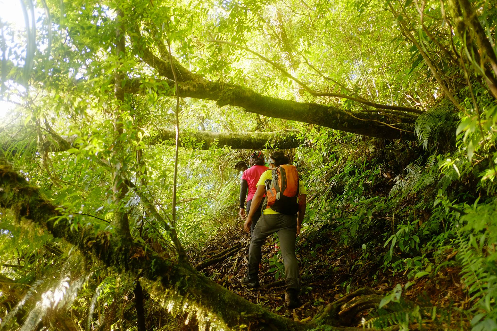
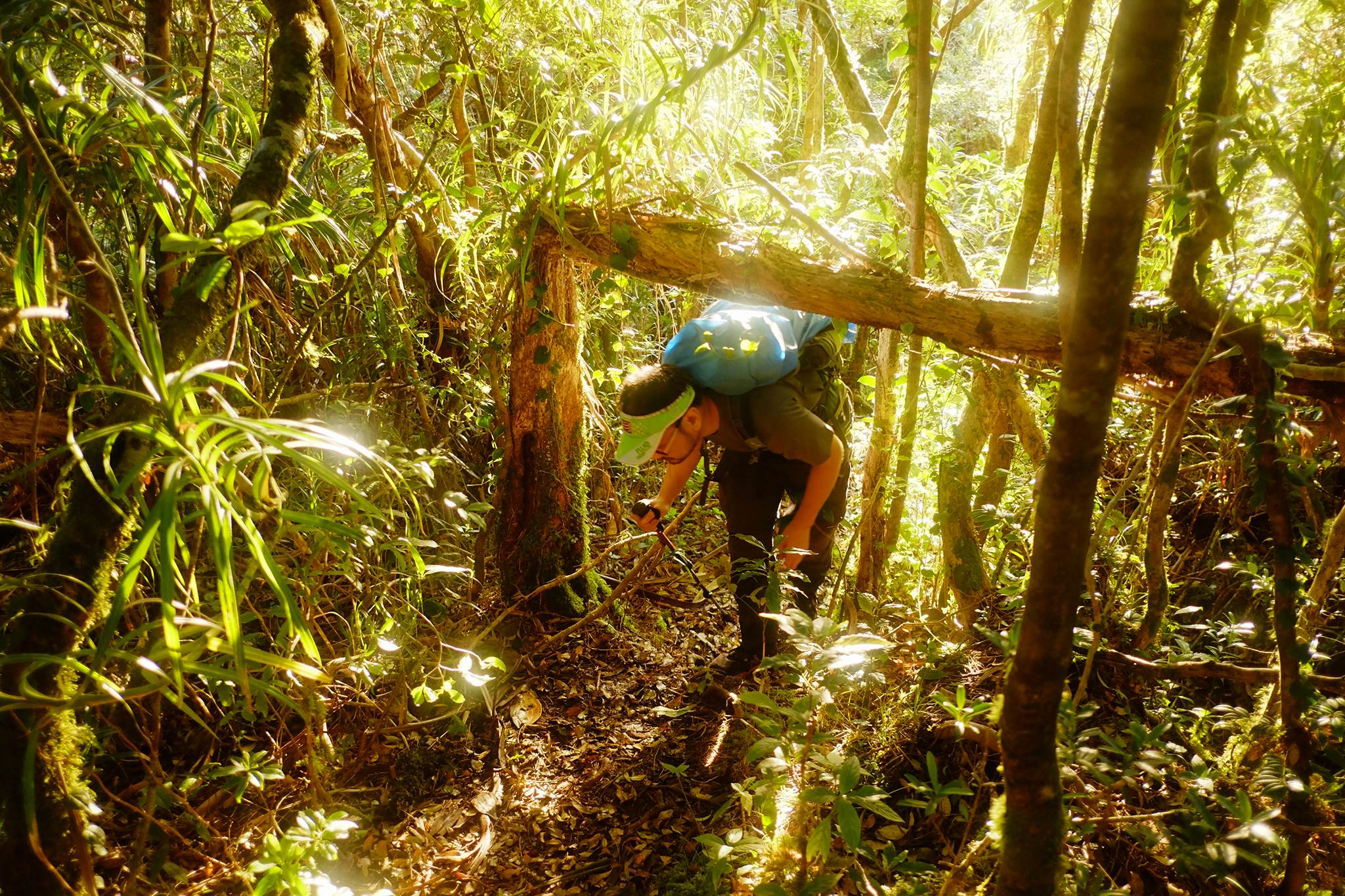
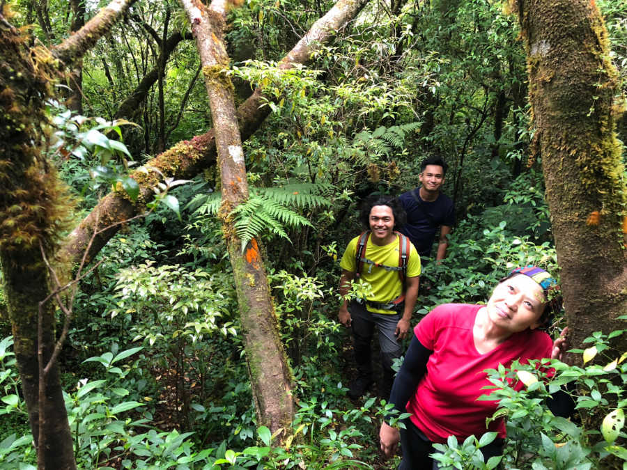
The trailhead of Mt. Banahaw de Tayabas is in Brgy. Lalo, Tayabas which is a little bit off the road from Lucena to Lucban. The barangay hall itself counts as the registration area and starting-off point. A community trail leads to Camp 1, taking about an hour or so; the real hike begins here, with almost a thousand meters of altitude gain required to reach Camp 2, which is around 1400 MASL. Although steep at times, however, the trail was very manageable, with minimal (if any) rattan and limatik; the trees were very typical of Banahaw and nearby mountains- and therefore beautiful; the cicadas had a distinct, engine-like sound. We set up camp in Camp 2, which has a nearby water source (there are no other water sources past Camp 1).
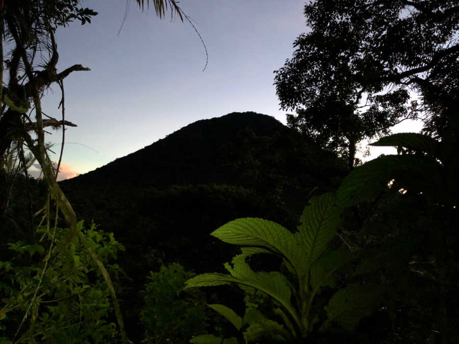
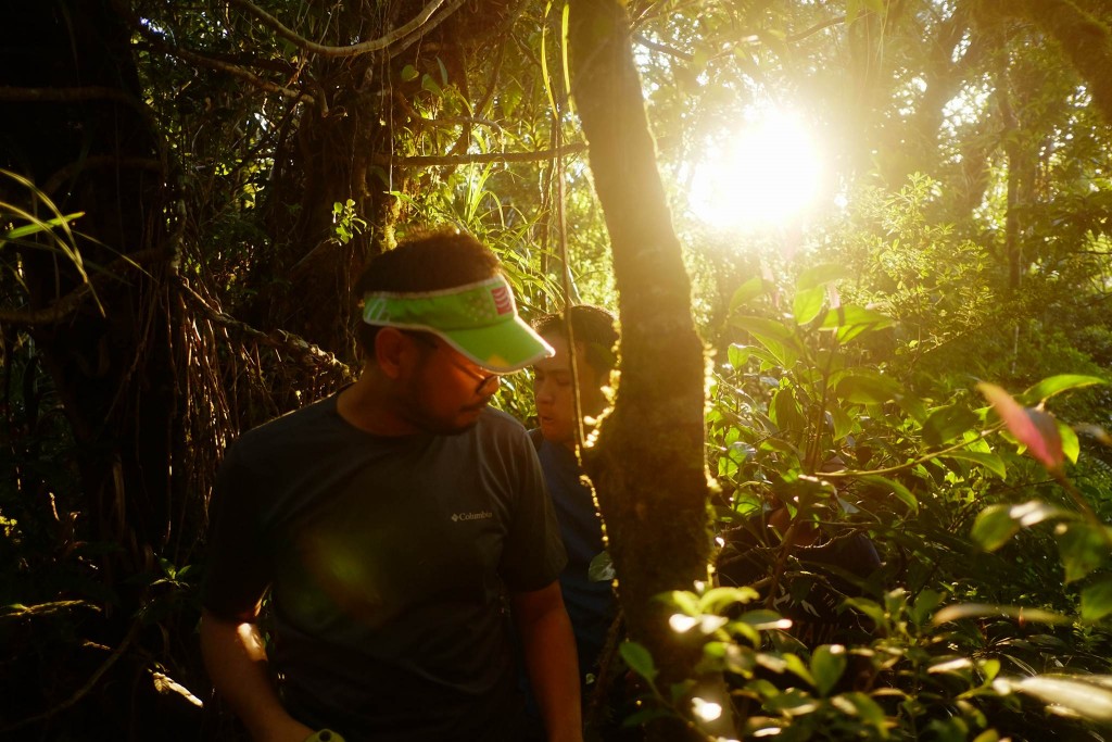
The next day we started the summit assault at 0445H. At times Talomo-like when it comes to its acrobatics-inducing trail, it was actually still a very manageable trail, albeit long: It took us a good three hours to reach the summit (2085 MASL). The highlight of the way up was a view of Mt. Banahaw de Lucban ( 14° 4’33.49″N, 121°30’48.67″E, 1875 MASL) which is actually accessible from the same trail we took to Camp 2 (the saddle between BDL and BDT is 1500 MASL).
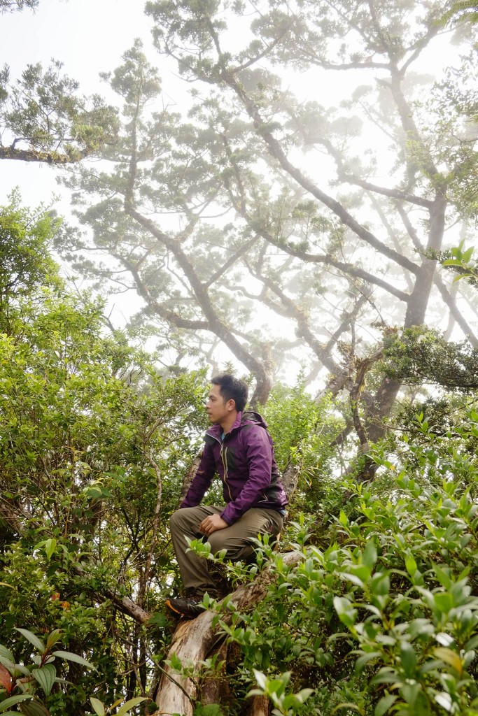
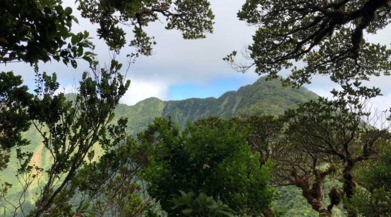
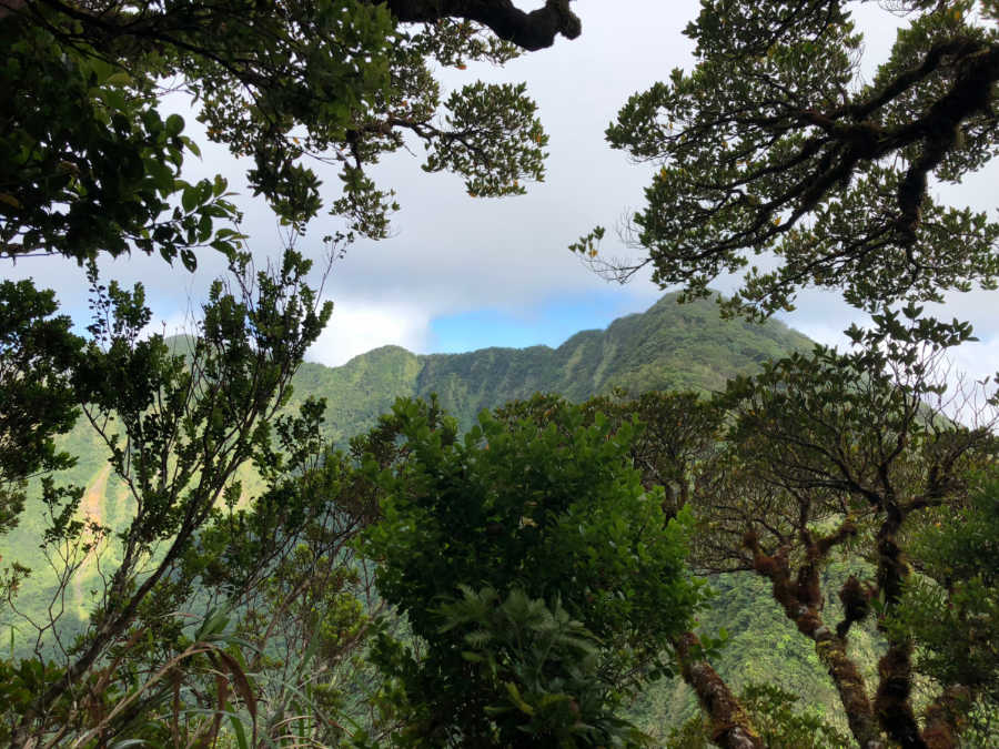
The summit was mostly forested, which speaks of the fact that this is really the ‘far side’ of Banahaw. Even so there were some viewpoints where we had a glimpse of the rest of Banahaw’s crater rim: from Unang Dungaw on the left and Ikatlong Dungaw on the right (and in front) of us. What a wonderful sight!
The descent was straightforward, but still long, taking us around five hours from the summit – a descent interrupted by a hearty campsite brunch at Camp 2, and a buko juice stop at Camp 1. Thank you to everyone who joined the trip! Special mention to Kevin for the photos, Pat Labitoria and family for the breakfast in Sariaya, and 18-time Halcon climber Cynthia Sy for the post-climb treat! Thank you also to Vinci, Tin, Coby, Niel for completing the team!
Note: To secure permits contact the the Office of the DENR-PASU (Mts. Banahaw-San Cristobal Protected Landscape) in Pagbilao, Quezon.
Leave a Reply
Be the First to Comment!