
Hiking matters #605: Mt. Amorong in Umingan, Pangasinan

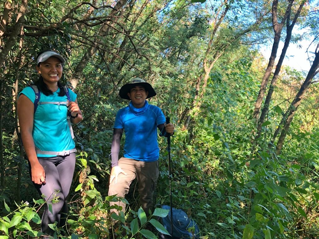
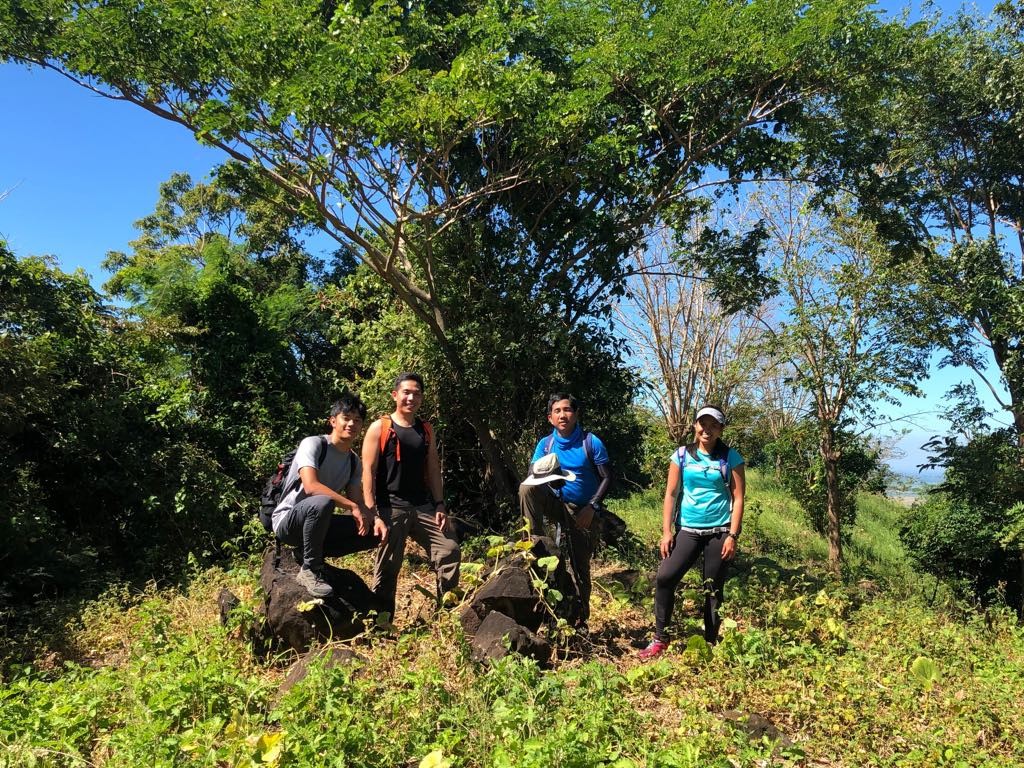
Pangasinan is not well-known for its mountains, but there are actually a number of peaks in the province – from the foothills of the Cordilleras to the northern fringes of the Zambales range. Moreover, there are some mini-mountains in the plains of the province, including Mt. Amorong (376m) in Umingan and Mt. Balungao (382m) in Balungao. On December 9, 2018 I decided to check out these two inactive volcanoes, accompanied by my hiking buddie Tony Gutierrez, Charina Javier, and Christian Santos. Because there was no documentation about it, we decided to head first to Mt. Amorong.
We first headed to Rosales via NLEX-SCTEX-TPLEX, and then followed the Umingan-Rosales Road, until we made a right turn to a Brgy. Luna Este through a road that would turn rough. We followed this until the end, and lo and behold, Mt. Amorong’s rather-indistinct two peaks were in front of us. Tatay Godong, a kalabasa farmer (kalabasa or squash farming is the major livelihood in the area), agreed to guide us.
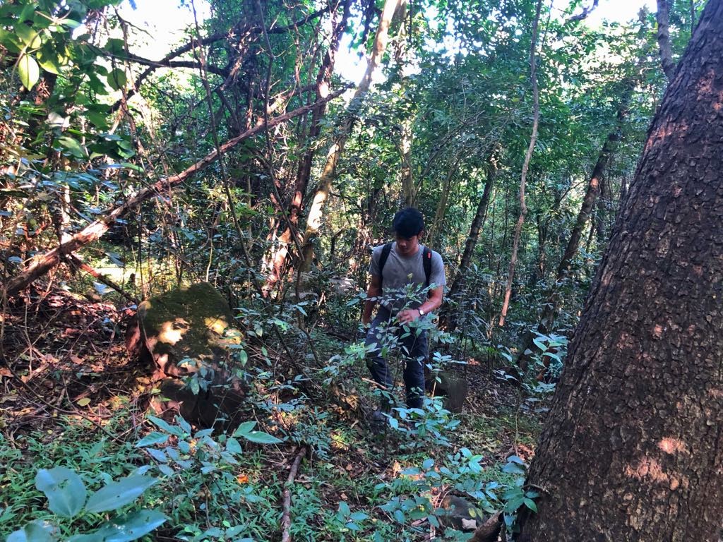
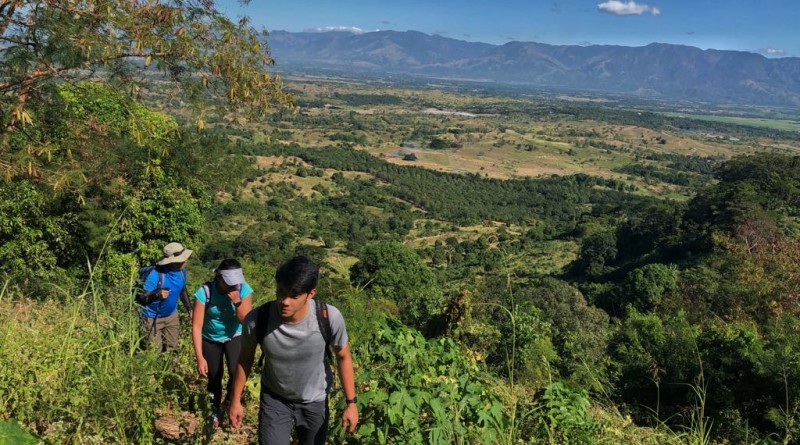
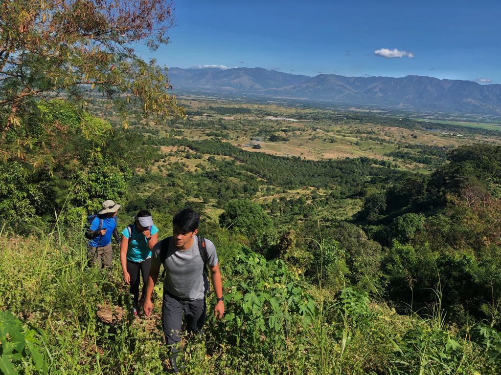
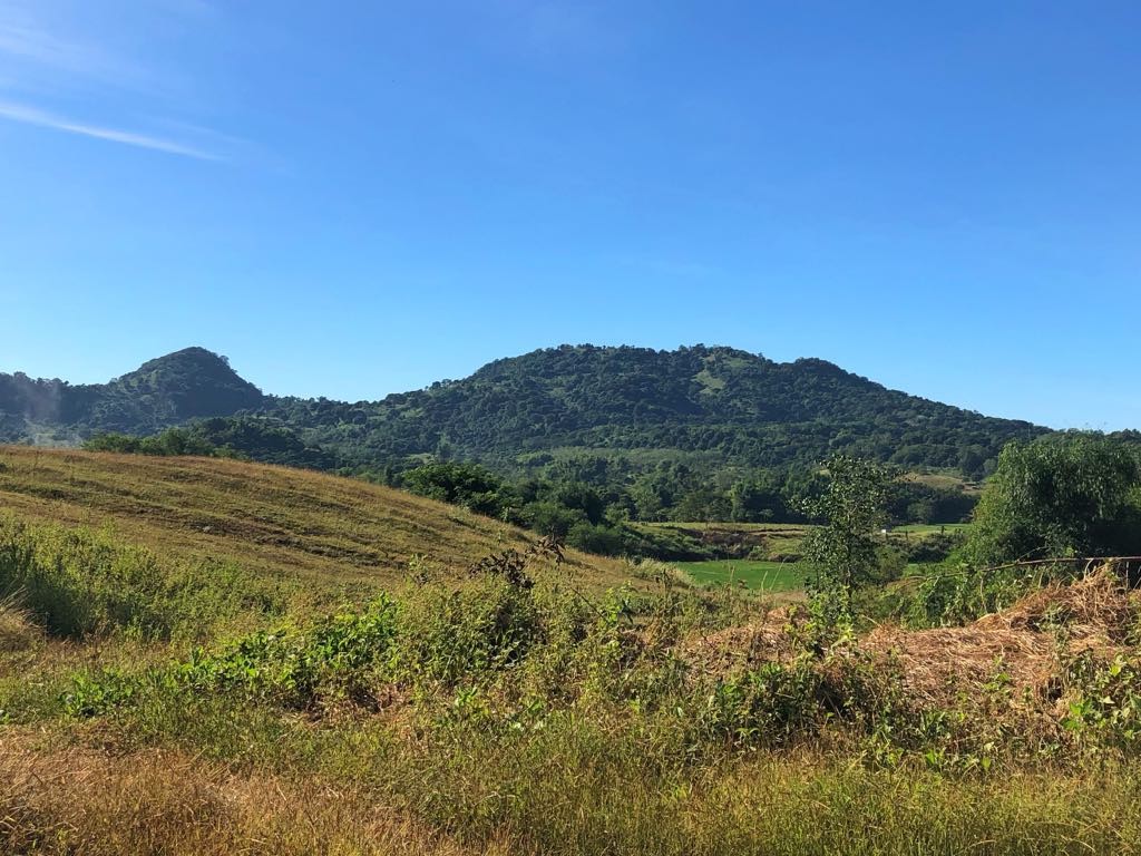
Because we didn’t really know which of the two peaks was the summit, we decided to hike both, starting with what Tatay Godong himself identified as the highest point: the small peak on the left (see above picture). This was a pretty straightforward ascent, first in grassy slopes then up a forest. There was no view at the top – we recorded an attitude of 370 MASL and coordinates of 15°50′15″N 120°48′24″E.
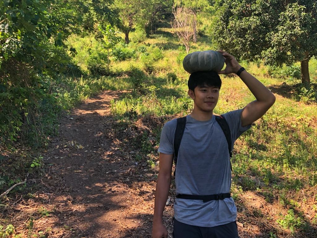
Then, after heading down close to where we parked the car, we hiked up the second, larger peak, intrigued by the caldera we saw in the topographic map – and the fact that it was referred to by Tatay Godong as lokong – meaning, ‘bowl’. As in the first peak there were lots of kalabasa on the trail – some selling for just 3-5 pesos a kilo! We cannot but feel sympathetic to the farmers who earn so little in the area (I will write about this in my Inquirer column).
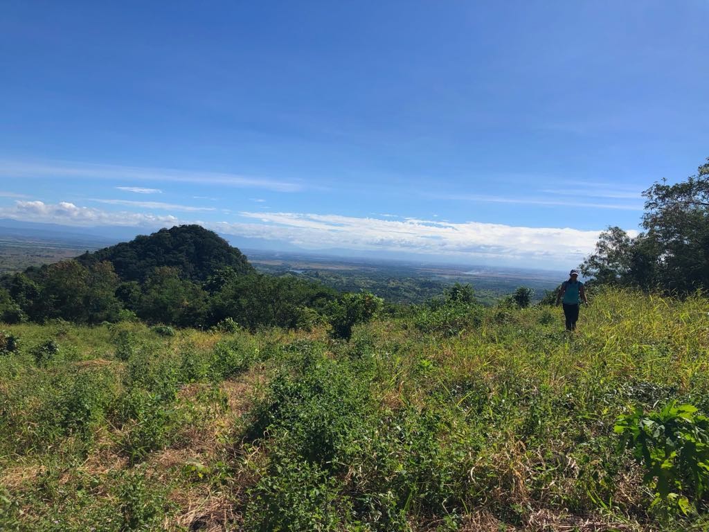
The second peak had a well-established trail (used by the locals to haul kalabasa) at the beginning but there were also some overgrown, grassy parts towards the end. The first signal that the summit is near is the arrival at the ridge – which may well be the crater rim of the ancient volcano. We followed this ridge hoping to catch a glimpse of the caldera underneath but we couldn’t really find a sweeping view of it because of the vegetation. We had to make do with the view of the Cordilleras – which was in itself rewarding.
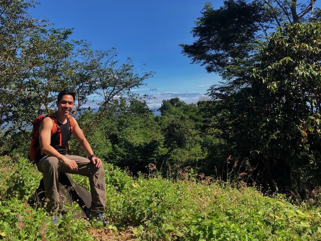
At the summit we clocked an elevation of 375, 15°50′26″N 120°7′49″E, extremely close to the official reading of 376 MASL. It was reminiscent of Mt. Batolusong, or the San Jose Circuit in Tarlac. According to Tatay Godong, the mountain used to be forested and inhabited by monkeys and wild boar. But nowadays, because of vegetable farming and deforestation, the wildlife has “fled to the mountains of Nueva Vizcaya”.
Still, the ridge wasn’t completely bare and there were some trees, particularly facing the caldera, raising the possibility of a traverse from below. Surely, there’s more to Mt. Amorong than what we saw in our visit – something for local hikers to explore – but we were very satisfied to have summited a mountain that I first saw in Mt. Ugo in 2012, when I saw Mt. Arayat and was trying to figure out the small mountains that flanked it. Another one of those mountains was our next destination – to which we headed after Amorong: Mt. Balungao (see Hiking matters #606).
Leave a Reply
Be the First to Comment!